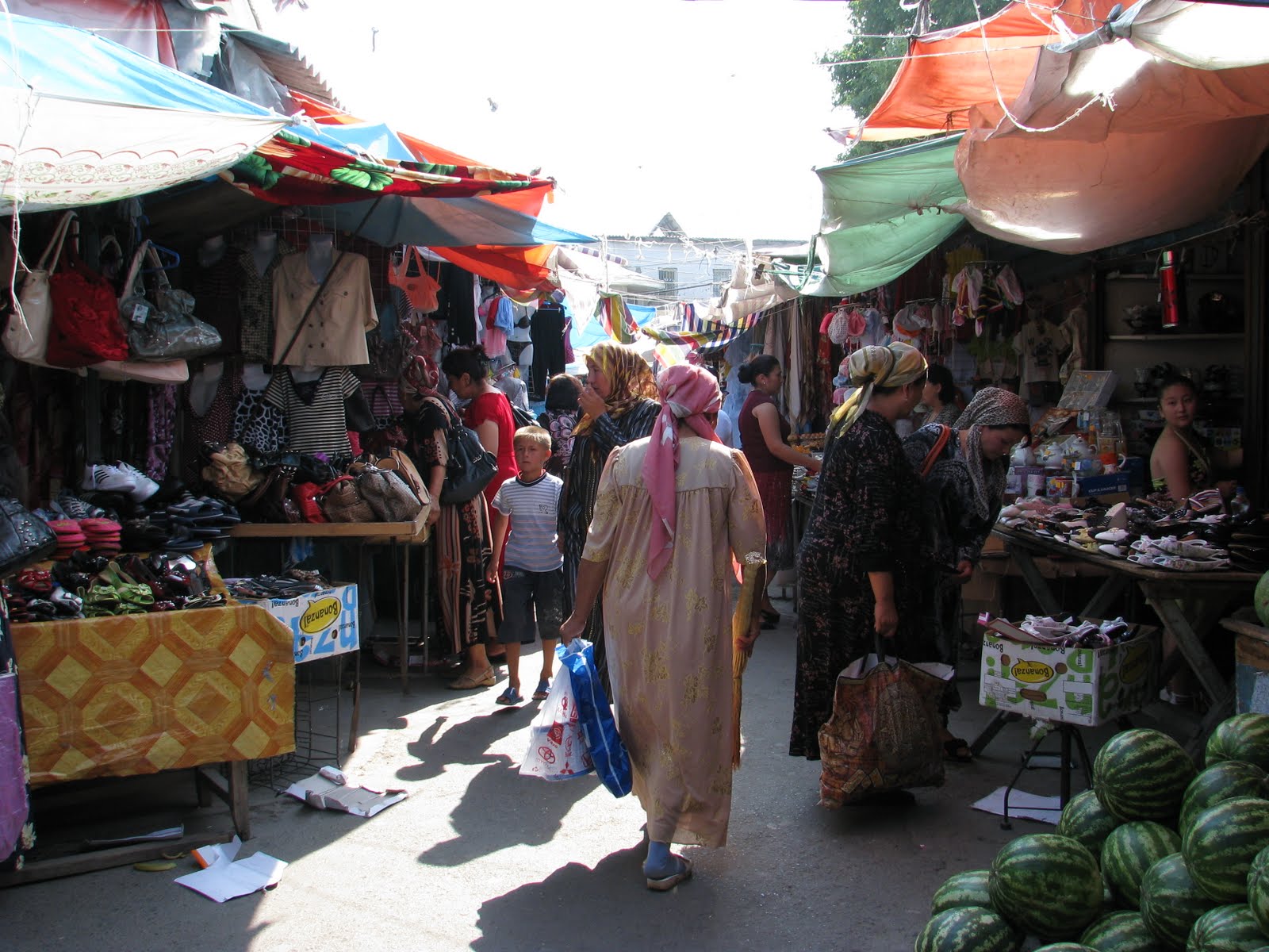
The ancient silk road city of Osh is Kyrgyzstan's second largest, and the administrative center of the Kirghiz portion of the Fergana Valley. In the months prior to our arrival there were violent clashes between the Kirghiz and Uzbek communities and scores of buildings were burned to the ground.
 After a short drive from Jalalabad to Osh, we took a brief look around and left for the Pamir highway. There was lots of cleanup going on, with rubble piles at the sides of the roads. The place still felt tense.
 The Pamir Highway (M41) was built by Soviet military engineers between 1931 and 1934 to facilitate troops, transport and provisions to this very remote part of the Soviet empire. It runs about 1450 kms. from Osh in Kyrgyzstan to Dushambe, the capital of Tajikistan. The route is composed of some of the most remote and untouched areas of the world.
The above photo is of a better portion of the road, climbing out of Osh.
 The road turned to one of well maintained gravel. It is becoming, in the Kyrgyz portion, the major artery for trade between Central Asia and Kashgar in far western China.
 Switchbacks up to the Taldyk Pass (3615 meters). There were many Chinese trucks, and a Chinese construction crew upgrading the road.
 One of the Chinese workers spoke some Russian. Simon, having a chat.
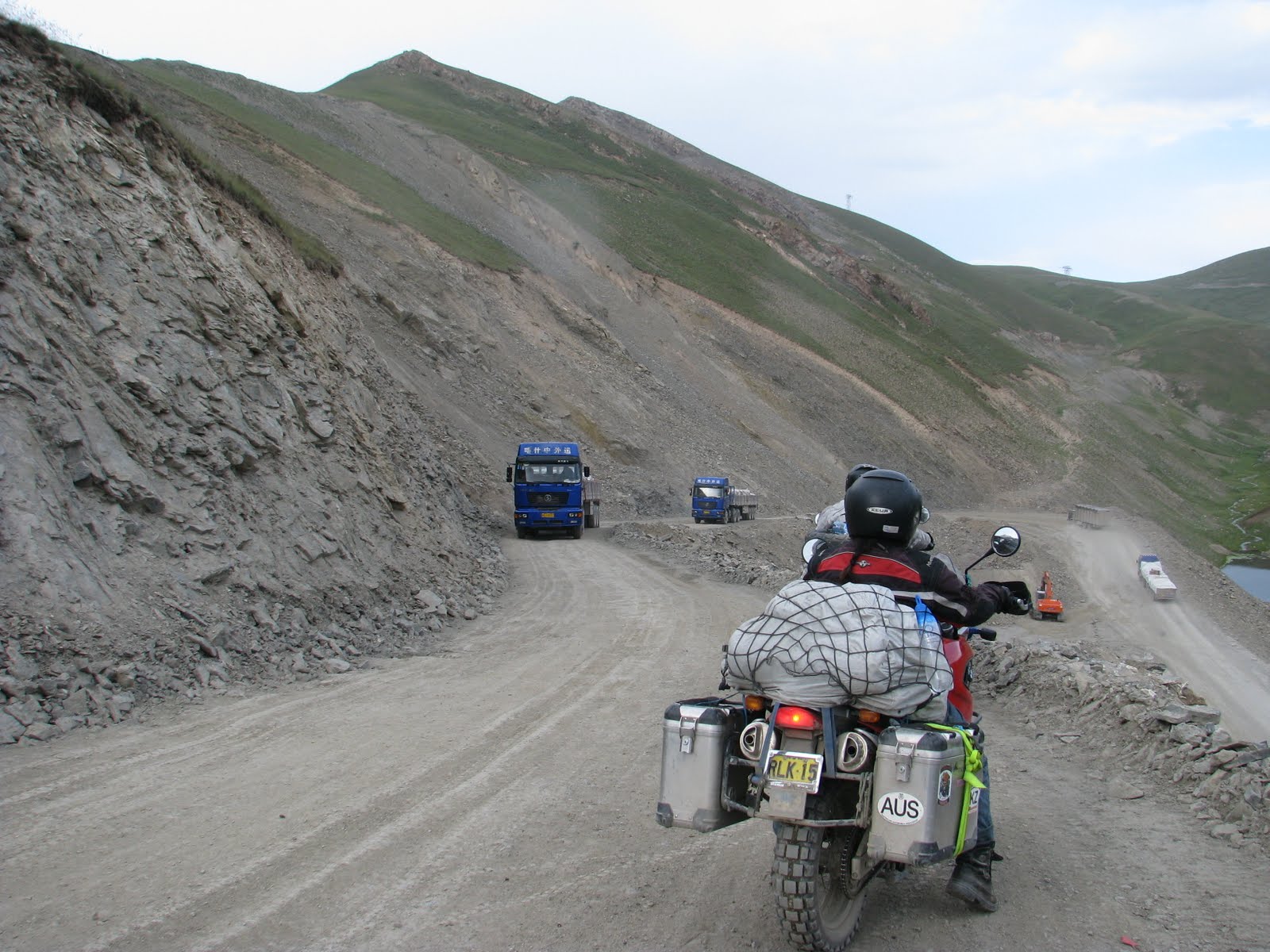 Giving way to oncoming traffic.
 Going down onto the Pamir Plateau.
 The town of Sari Tash and in the distance. the Pamir Mountains.
 Sari Tash is on the junction of the road to the Chinese border, 80 kms. to the east.
 Proud grandmother and grand kids outside our home stay, Sari Tash.
 A Dutch couple and their German companion. The Dutch were on an around the world bicycle trip. Not our cup of tea, but I take my hat off to them.
 On the road again the next morning. The plateau is over 3000 meters in elevation. For the most part, the motorcycles ran well at this high altitude.
 Bridge out!
 Simon and Monica, enjoying the moment.
 At the Tajik border, home to the Marco Polo sheep and the Snow Leopard.
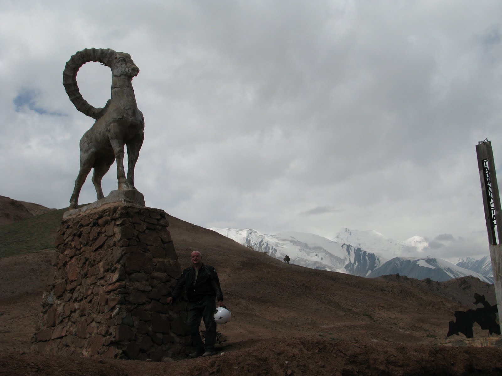 The border crossing, Kyzyl-Art Pass, elevation 4282 meters.
 In Tajikistan, looking east from the road towards China, and the border fence.
 There was some pavement, but usually in poor condition. Traffic was next to nil.
 Spectacular high altitude scenery!
 Bridge washout. There was a long detour, but we decided to be a little adventurous and do a crossing. I almost made it, but got bogged down a meter or so from the shore. Monica made it, as you can see.
 Simon's bike also got stuck, but he was able to bring Monica's lighter vehicle over successfully.
 We had great weather, blue skies and sunny days
 High plains living.
 Kids coming for a visit.
 Found a nice spot to camp for the night by a stream, along the Chinese border. There was frost on the ground overnight.
 While having some coffee in the morning, three Italian motorcyclists happened by. They had taken the detour around the washed out bridge and had become disoriented with nightfall. They spent a sleepless night trying to keep warm. Hot coffees perked them up.
 Yurts and nomadic herders were occasionally to be seen, but the high plateau is generally not hospitable for any kind of agriculture.
 Murgab, and the view over the town during lunch
 Murgab, lunch.
 Alichur Village where we stayed the night. Met a couple of Swiss hikers who were exploring the nearby peaks.
 Alichur and our accommodation. Afghanistan is directly over the mountain range in the background.
 Breakfast consisted of yogurt, flat bread, pancakes, jam and tea.
 The terrain west of Alichur is lunar like, framed by snowy peaks.
 Mountain view, near the Koi-Tezek Pass (4272 meters), the highest point on the Pamir Highway.
 On the Khorog side of the pass, we encountered a higher population density, more agriculture and warmer temperatures in the lower altitude valleys.
 The approach to Khorog.